
Beijing ZEHO Waterfront Ecological Environment Treatment Co., Ltd. was established in 1997 and is positioned as an "urban waterfront space operator". It is a national high-tech enterprise and a Beijing enterprise technology center.The company has been deeply engaged in the field of ecological environment for 27 years, with the concept of sustainable development at its core and guided by Nature-based Solutions (NbS). It has established three major business segments: ecological environment governance, ecological water infrastructure, and urban waterfront spaces, offering customers a systematic solution encompassing "technology + design + construction + operation + business", and is committed to facilitating sustainable development between humans and nature through intelligent ecology.
Learn more >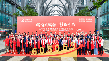
With 27 years of experience in the ecological environment field, ZEHO ECO upholds the concept of sustainable development as its core and is guided by Nature-based Solutions.
Learn more >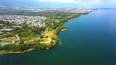
We dived deep into the eco-environment industry and built up a service system covering the whole industry chain of design, build, intelligence, investment, and operation.
Learn more >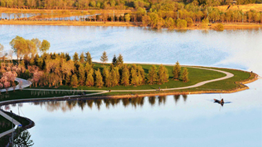

We stimulate the vitality of organizations and individuals through professional training system and career development path, and help employees and enterprises grow together.
Learn more >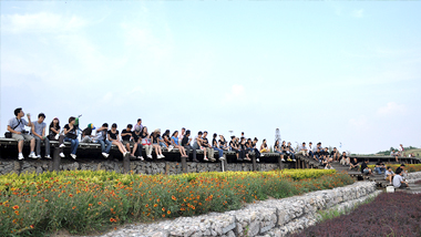
If you have any questions about our business, products, technologies and cooperation, please contact us through the following channels.
Learn more >
01 Research and Practice of ZEHO ECO in River and Lake Management
With the development of cities, human activities affect the structural form, hydrological process and stability of ecosystems of rivers and lakes. The water ecological problems of rivers and lakes have become prominent problems affecting ecological security. It is urgent to harness rivers and lakes and protect and repair the water ecological environment.
Nature-based Solutions (NbS) were used in the design process of the Yulan River Environmental Comprehensive Improvement Project to build a scientific, technical system and an ecological engineering method simulating nature. In the process of design and project implementation, adhere to integrating multi discipline and multi technical means, restore the natural habitat community to the maximum extent, protect biodiversity, and realize the sustainable development of man and nature in a way more consistent with the natural law. After taking measures such as conservation, natural recovery, auxiliary regeneration and ecological reconstruction, we came to the project site again. The growth of plants, the return of animals and the participation of the masses fully reflect that our design vision is gradually becoming a reality.
02 River and Lake Management with NbS
Yongning Street Yulan River Environmental Comprehensive Improvement Project is in the west of Yongning Town, Pukou District, Nanjing City, with a total area of about 4.9 hectares. Yulan River is one of the flood discharge channels of Laoshan Mountain. It is a natural river flowing through the town. It not only carries the functions of flood discharge and water-logging drainage, but also has the functions of optimizing the urban ecological pattern, regulating local microclimate and residents’ leisure. The current river channel mainly uses grey technical facilities to solve the safety problem. The flood prevention wall, with a height of 4-7m, blocks the view of streams from space. The hard flood control project lacks humanized scale, the function of the riparian landscape belt is lost, and the visual and ecological functions are poor.
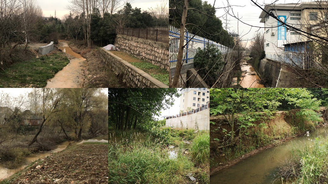
before restoration
The design team applied ecosystem restoration, green infrastructure and natural infrastructure methods to identify current problems, select and evaluate technical measures, design implementation processes of solutions based on nature, and finally evaluate the synergy. Put forward the design strategy of green water and river flow, cluster stream growth and slow city life, and give full play to the ecosystem service function and realize the harmonious coexistence of human and nature through the two coordinated measures of water system planning, ecological restoration and biodiversity protection that conform to the laws of nature.
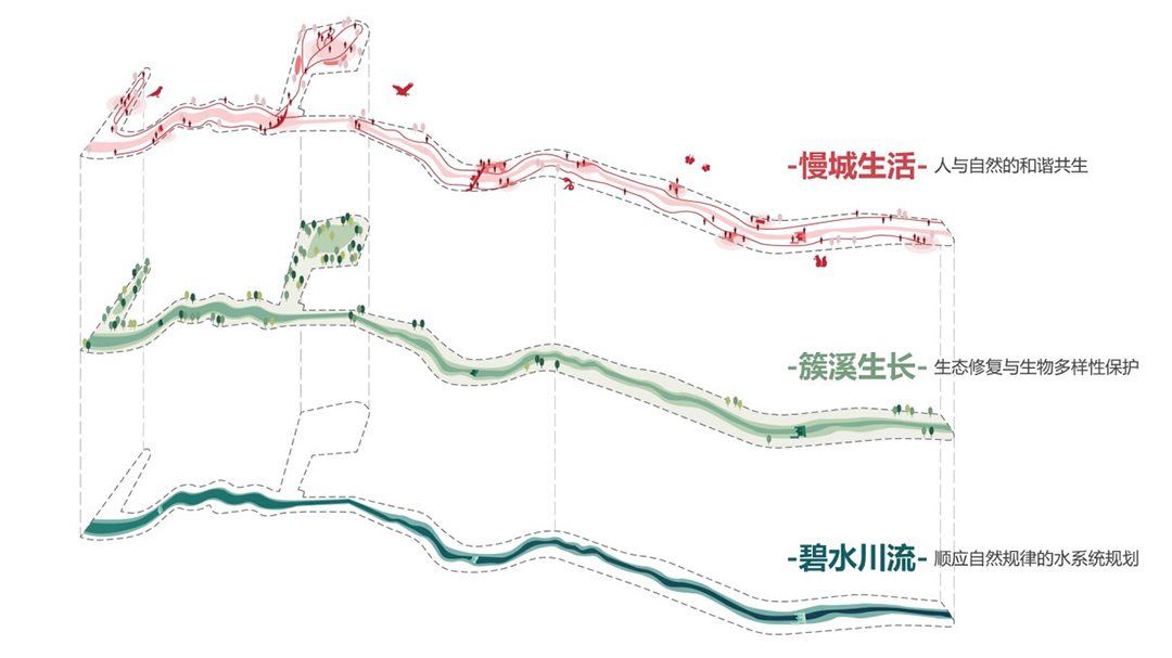
design concept of NbS
Clean Water and Streams -- Water System Planning Conforming to Natural Regulations
The Yulan River is an important channel for flood discharge and water-logging drainage in the surrounding land, carrying the water from Laoshan Mountain and the surrounding market towns. The design flood, design flow and water surface profile are calculated in combination with hydrological conditions such as catchment range, project grade and rainstorm parameters. The original section of the river channel is locally narrow, which does not meet the flood discharge requirements, and the longitudinal slope of the river channel is large, so effective water conservation measures are lacking.
In comprehensive consideration of the functional requirements and hydrological characteristics of the river channel itself for flood discharge, the utilization of river bank space and the construction of surrounding cities and towns are investigated and analyzed. The combination of green and gray infrastructure aims to restore the Yulan River to a flexible water bank with clear water quality and blue and green interwoven, and reproduce the natural features of ecological rivers, meandering streams and dry streams.
Dredging and widening the river channel, and coordinating the elevation of the estuary and surrounding areas to complete the vertical design, to ensure the safety of flood discharge of the Yulan River. The reconstructed shoreline is reshaped, presenting a nearly natural river shape. The undulating green spaces on both sides extend slowly to the water, ensuring the safe connection and transition of blue and green spaces while ensuring the flood carrying space.
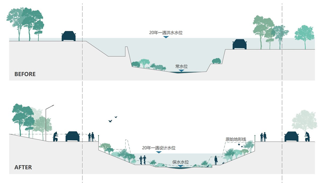
the vertical design follows the hydraulic control section
The NbS advocate the maintenance of ecological flow through the management of rainfall, water storage and water conveyance. The design team has developed a water system operation scheme for the Yulan River according to local conditions. Three overflow weirs and secondary circulating water are set up to form a diversified water body of 0.1-1.7m, and the river’s self purification capacity is improved. In combination with sewage interception and drainage and water conservancy dredging, realize the transformation of rivers from “water quality in water function areas” to “ecological water demand” guarantee and recovery.
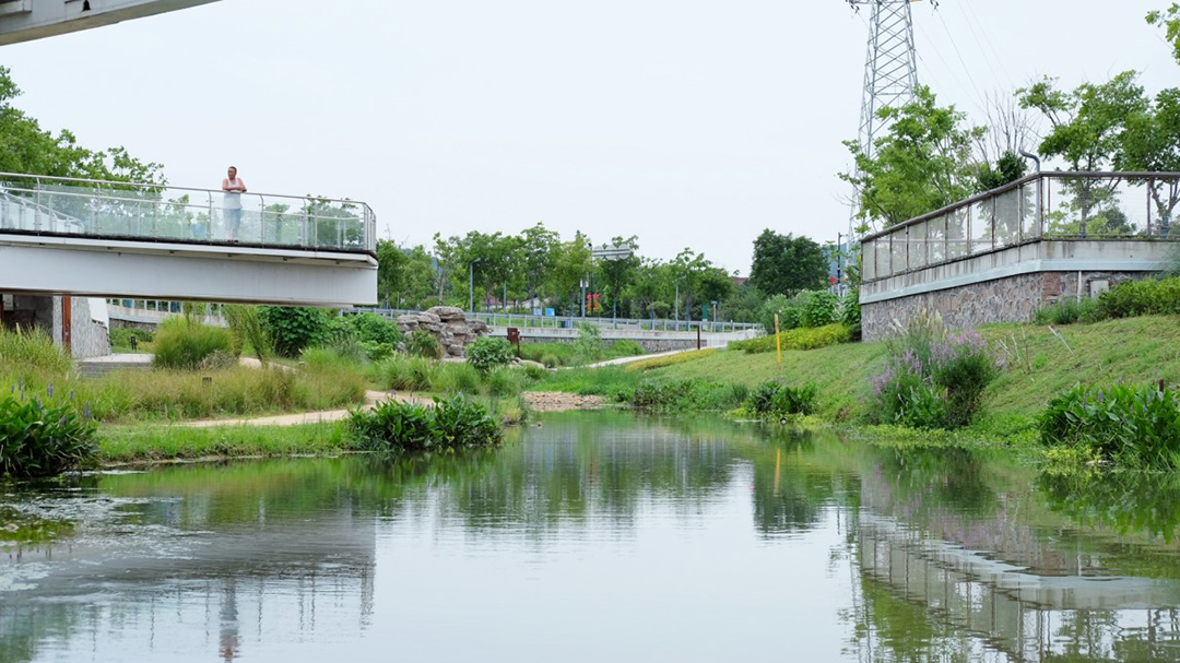
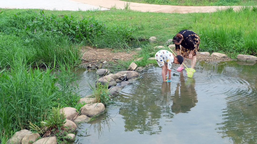
diversified water forms formed by overflow weir
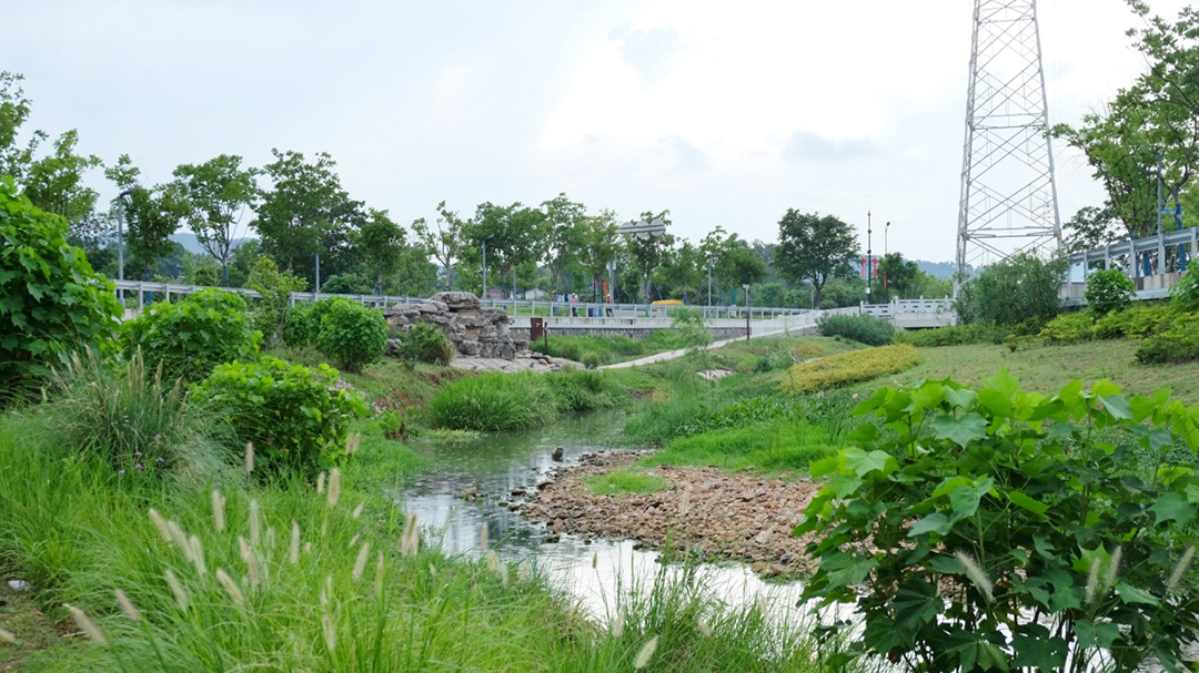
stone beach naturally formed in river channel
Cluster Stream Growth -- Ecological Restoration and Biodiversity Protection
The ecological environment of the Yulan River is subject to a variety of stress: the flood rises and falls steeply during the flood season, and is flooded repeatedly. The runoff erosion leads to the water and soil loss of the exposed revetment, the ecological function of the river bank is degraded, and the ecological carrying capacity is low.
In order to cope with the steep rise and fall of mountain torrents and repeated scouring, based on the revetment conditions, the natural ecological construction methods such as geocells and interlocking blocks are selected to effectively prevent water and soil loss. In combination with planting design, deep rooted plants are preferred to maintain the shoreline shape and meet the water safety requirements of the river.
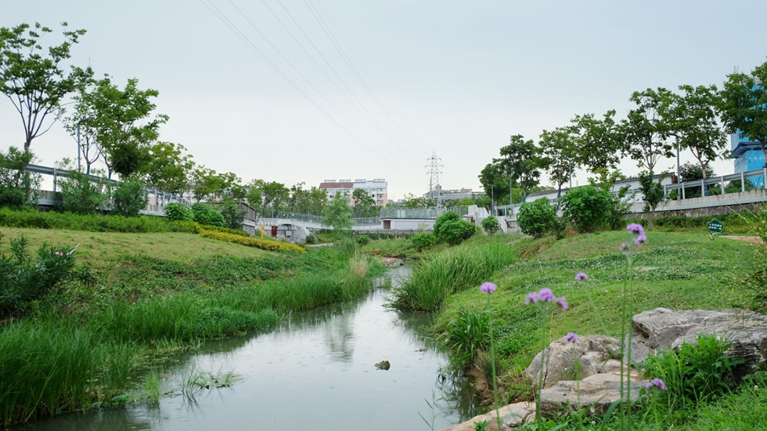
ecological engineering method can effectively conserve water and soil
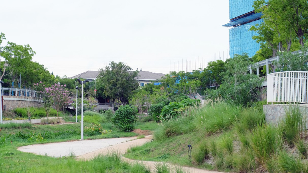
deep rooted plants planted on interlocking blocks
On the premise of ensuring the ecological base flow, we should consider the ecological needs of the river, various water body forms, water depth, inundation and revetment types build a riparian buffer zone, design two types of water ecological restoration types and a simulating natural multi layer plant configuration, provide shelter and habitat for birds and insects, and improve the diversity and resilience of the community.
Two types of water ecological restoration, namely “emergent+hygrophytes” and “submerged+hygrophytes”, give play to the functions of water purification, water and soil conservation and improve the living environment.
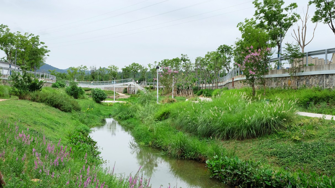
water ecological restoration mode of "emerging water+hygrophytes"
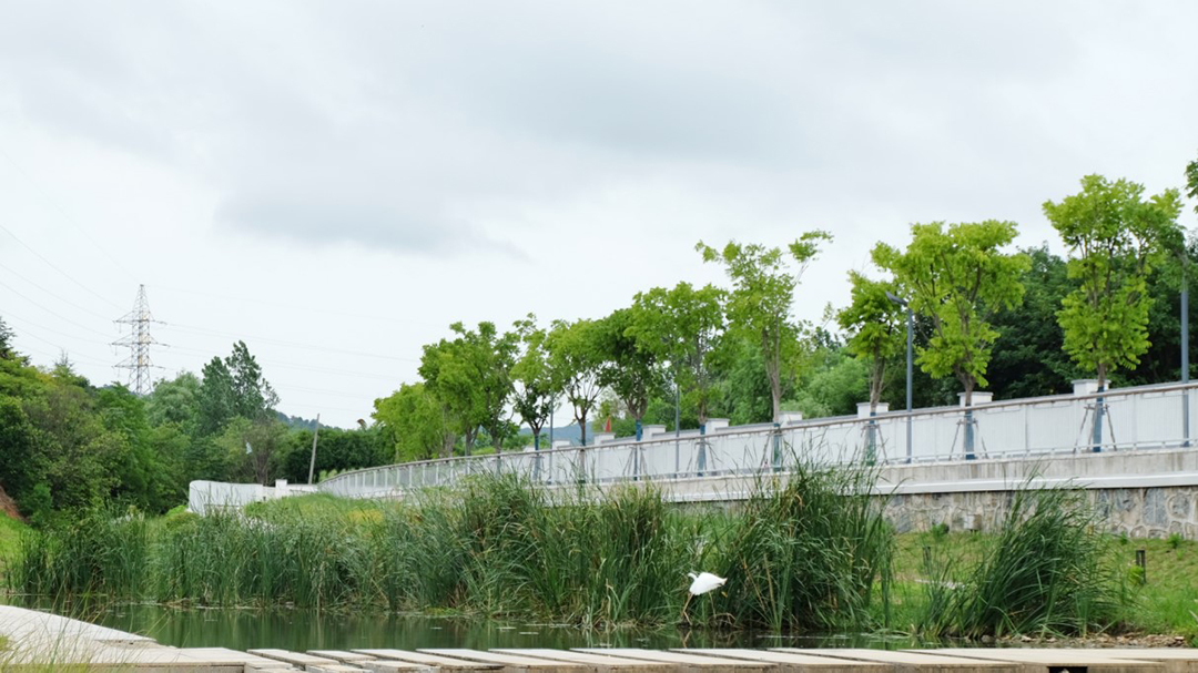
little egret returns to river habitat
The coastal zone below the design water level with a 20-year return period is dominated by low native plants that are resistant to flooding and have strong adaptability. Plants with rich nectar and pollen sources and different flowering periods are preferred to build a corridor for pollinating insect habitats in cities to promote the natural succession and growth of communities.
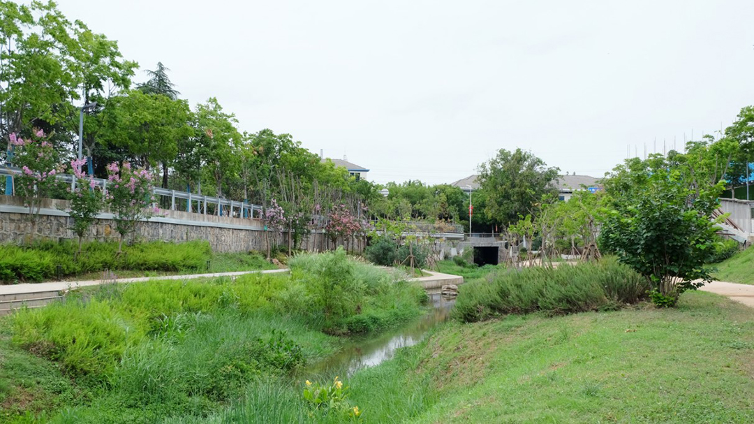
natural riparian habitat corridor
Above the flood level, build an arbor-shrub-grass compound layer community dominated by local plants. Many kinds of plants grow in interlaced mosaics, improve the interception capacity of rainfall and runoff, and form a barrier to intercept sediment and pollutants into the river.
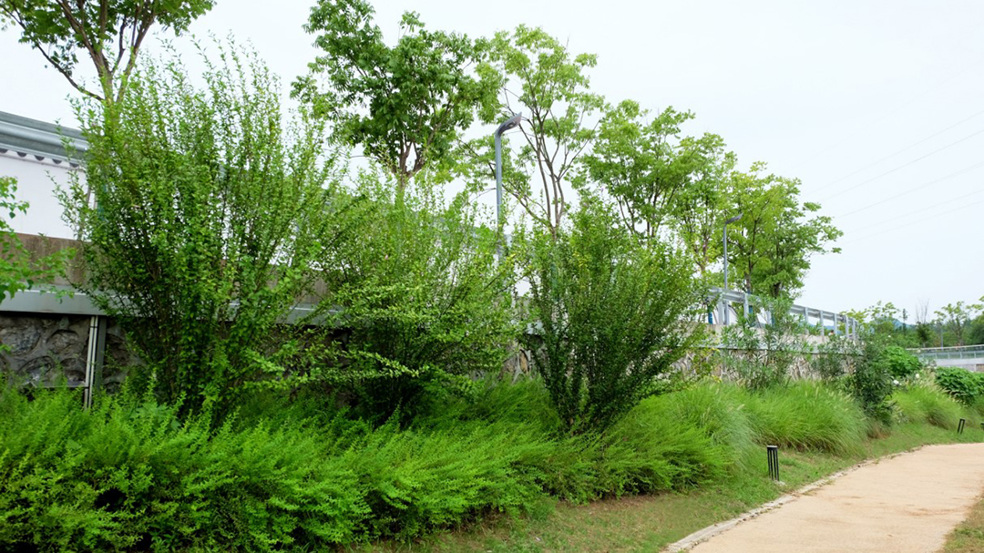
simulate natural stratified community
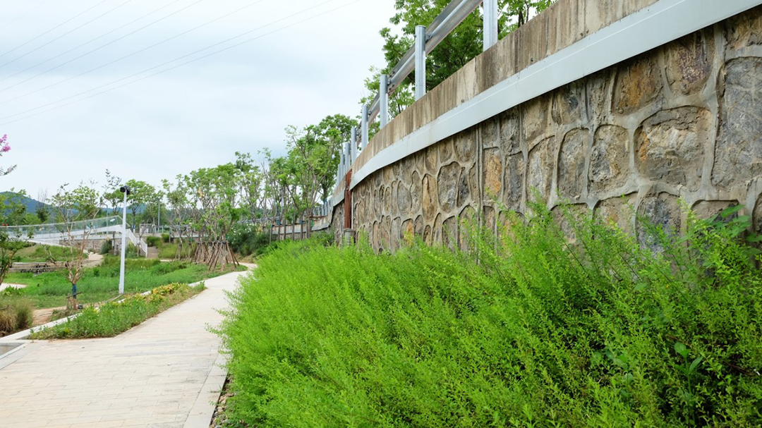
vegetation buffer zone under retaining wall
Slow City Life -- Harmonious Coexistence of Human and Nature
The 1.9km continuous footpath along the river, pedestrian landscape bridge and several standing steps across the river connect the upstream and downstream, suture the public space on both banks, and make the surrounding land seamless. Various forms of steps and barrier free ramps provide vertical connection, and the multi-dimensional waterfront slow moving system guides people to the green ecological riverbank. Here, the various textures of waterfront places and ecological landscape are integrated, and the river course changes from “space barrier” to “interwoven connection”.
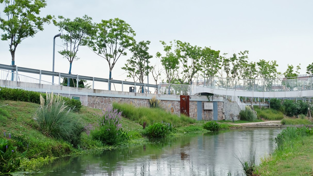
the three-dimensional waterfront slow traffic system closely connects towns and rivers
Through a flexible and safe waterfront environment, a coherent and three-dimensional transportation system, and a functional waterfront space, the blue and green ecological environment extends beyond the river channel, and the vitality of residents gradually moves towards the waterfront. The diversity, dominance, and richness of the landscape have been significantly improved. Residents can walk in Mingxi Weir to feel the gurgling and jumping of natural streams, or rest in the flower gallery to quietly watch the ecological scene of flowing water chasing flowers. This is a place for interaction and parent-child, openness and sharing, leisure and communication. The once quiet rural river has become an ecological and pedestrian scale urban stream, and is also a dynamic and exploratory public space.
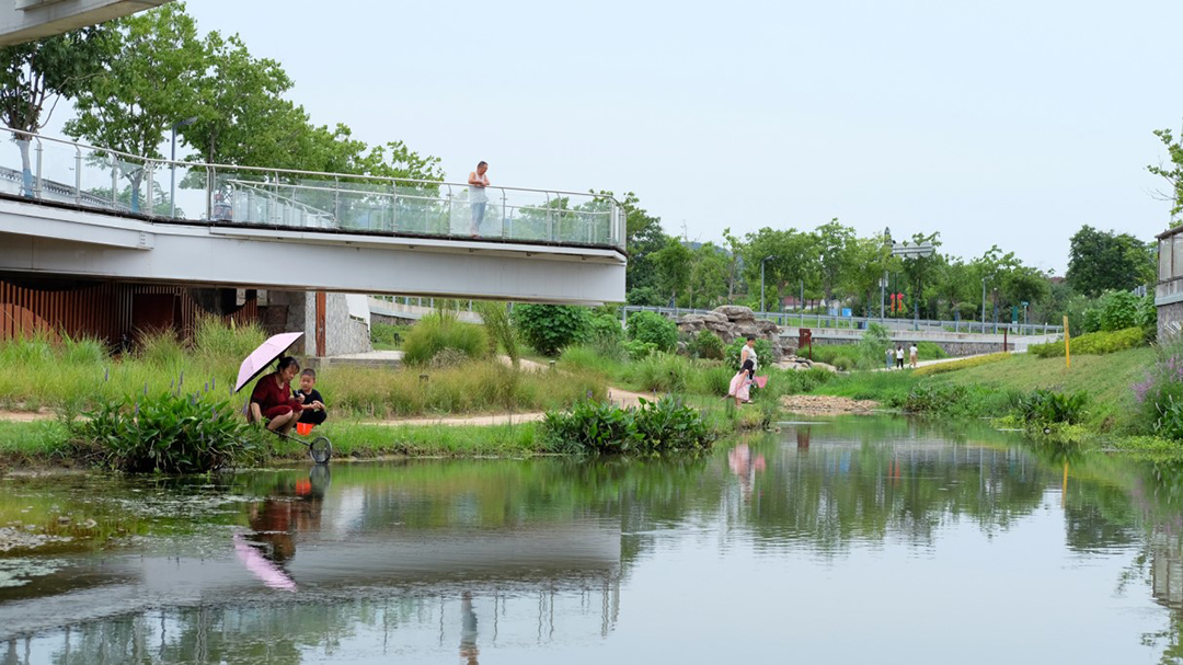
Water Stream Platform: lead the vigorous life of residents to the waterfront
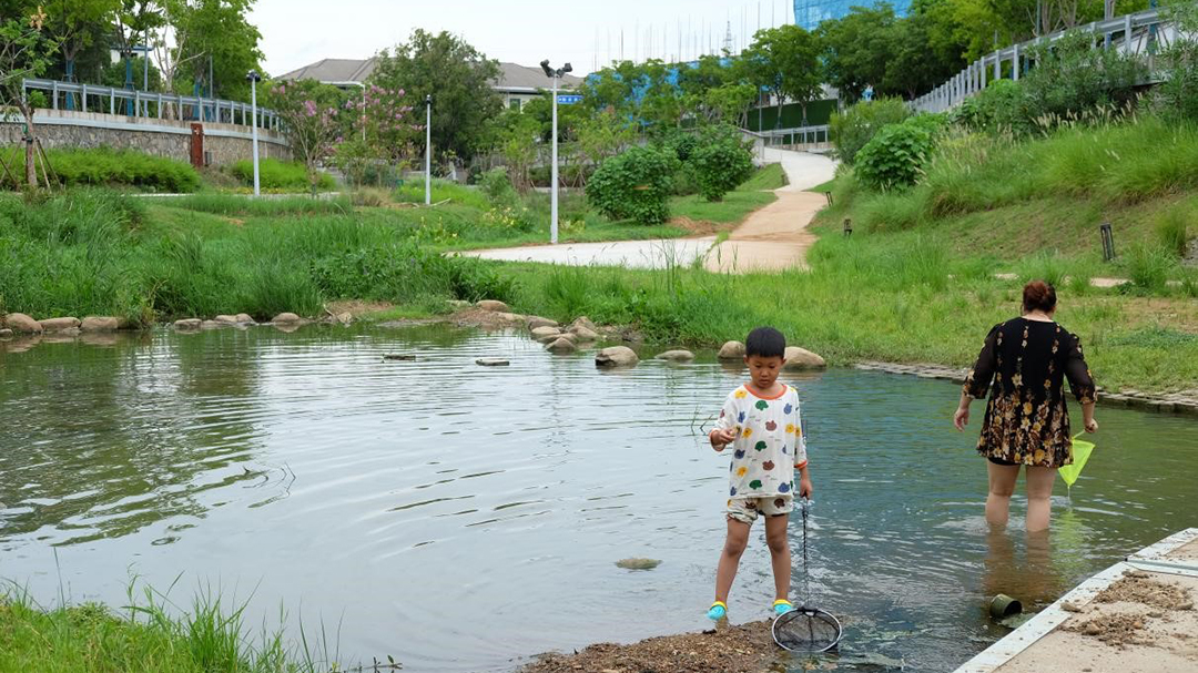
Huaxi Weir: provide various hydrophilic ways
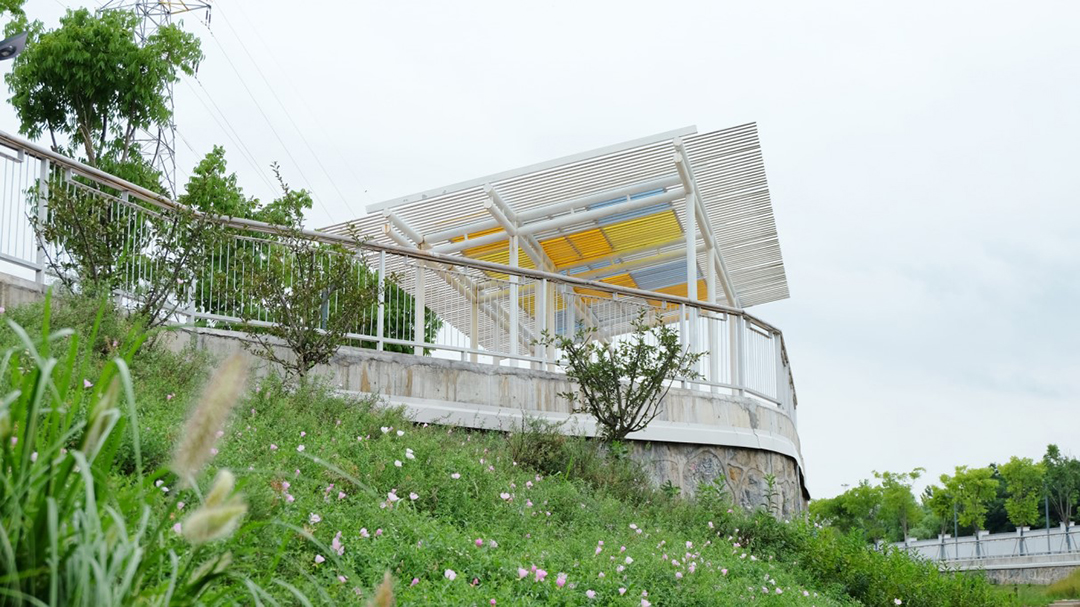
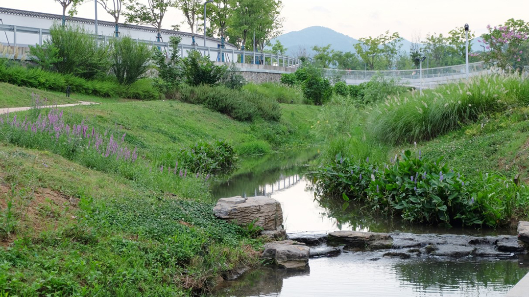
resilient ecological space with remote mountains background and near water
03 Postscript
In the comprehensive environmental improvement project of the Yulan River, the NbS were applied, focusing on protecting natural ecosystems and biodiversity, and respecting the balance between people’s actual needs and ecosystem services. Combine and complement green infrastructure and traditional water conservancy projects, repair river ecology, give play to its ecosystem services such as water conservation, biodiversity protection, carbon fixation and oxygen release, create an ecological livable environment of “smooth river, clear water, green bank and beautiful scenery”, and finally realize the vision of “nourishing the life of all things by the way of nature”.
Based on the ecological concept of “respecting nature, conforming to nature and protecting nature”, river and lake governance is changing from single flood control and water-logging prevention to water ecological environment improvement and biodiversity enhancement. From the Yulan River to the shore of the Erhai Lake, from the Tangshan South Lake to the Lake Entrance of Xiong’an Tanghe River, ZEHO ECO will continue to explore in the river and lake governance project in the future, and strive to be a practitioner of NbS.